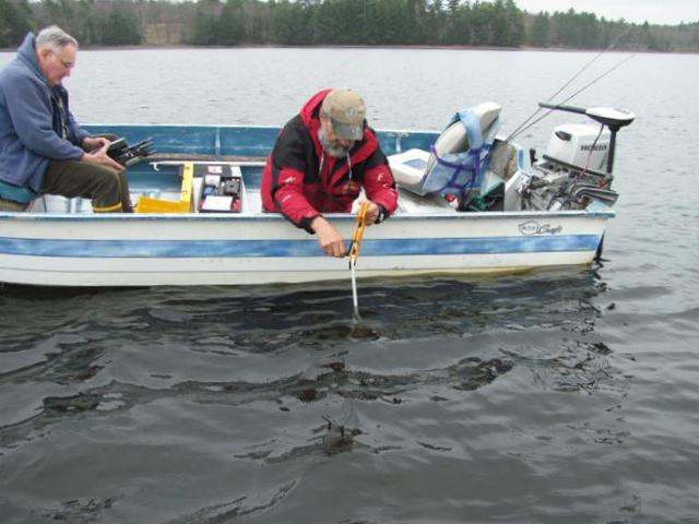
Measuring the water depth to confirm their location.
They try to collect their data over the deepest and measure the depth before they start to confirm they’re in the right spot. After years of practice, they’ve gotten pretty good at locating roughly the same place. The deepest place is about 29′ when the lake is full.
Why don’t they use a GPS?