I went for a walk in the meadow this afternoon, to the confluence of Clark’s Meadow Brook with the stream flowing out of Clary lake, to see what I could see, and
 even though I pretty much knew what to expect, it was still a shock to see what was once a viable productive wetland drained, exposed, violated. The magnitude of the ongoing environmental disaster that Paul Kelley has visited on Clary Lake is criminal. It is hard to believe that he cannot be held liable for damage to the environment as a result of the way he chooses to manage the water level of Clary lake. We all know what would happen to any one of us if we went to drain even a small wetland on our property or cause erosion or sedimentation of State waters through our action or inattention, and yet this man can actively destroy 300 acres of wetland and wildlife habitat with apparent impunity.
There is plenty of evidence of erosion where rain and melt water has pooled and run off into the main stream, cutting deep channels through the soft mud and exposing the roots of wetland plants. This soil erosion has no doubt caused significant sedimentation of the outlet stream and below the dam, the Sheepscot River itself. There are also large areas where water has pooled temporarily and in so doing has deposited a thin layer of sediment on the ground. This sediment will also wash into the outlet stream with the next rain causing further sedimentation of areas down stream. There are some more pictures of this in the Winter 2013 album.
I saw no wildlife save for a bald eagle that flew by, checking me out before heading into the trees over on the Floge property. I did see one abandoned muskrat house- I expected to see more but it appears they were driven from their regular habitat by low water last fall before they could build any lodges. It’s a hard winter on the furbearers.
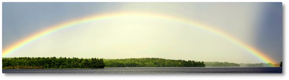
I also took a series of 10 pictures and then stitched them together into a 360° panorama which is stunning if I do say so myself. The pictures were taken right at the confluence of Clark’s Meadow Brook and the main channel coming out of Clary lake. I scaled it down considerably from it’s original (huge) size and it’s still big- almost 2 megabytes. Hope you enjoy it.
There are other pictures in the Winter 2013 album. As usual, your comments are welcome. Many thanks (again) to Jane Chase for providing access.
Very interesting comment on the condition of the “wetlands.”
Pingback: 21 February 2013: Resumed Water Level Measurements, Etc. | Clary Lake Association
Pingback: survetement ralph lauren
Pingback: 20 July 2013: A summertime visit to the Great Meadow | Clary Lake Association