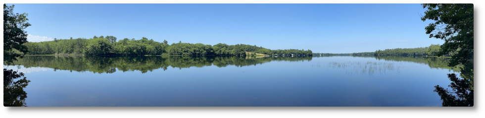

If you haven’t figured it out by now, I love maps. I love looking at maps and during my nearly 4 decades in the Surveying profession I made a lot of maps, as part of my job. Now I make maps for fun and making cool and useful maps has gotten faster & easier with freely available Geographic Information System and CAD software integrated with database systems and online mapping services like Google Earth, Google Maps, and Google Fusion Tables. Enhancing traditional data with Geocodes (latitude and longitude) like a mailing list allows you to look at information in ways that hasn’t been all that easy to do in the past. This latest map is a Parcel Map (image above) that I’ve just completed using Google Maps and Google Fusion tables which shows property parcels in and around the Clary Lake Watershed with blue dots representing the locations of everyone in our Clary Lake mailing list database. It wasn’t particularly hard to do, the tedious part was scaling a latitude and longitude off a map and assigning it to a name in a spreadsheet. The rest was just data manipulation. The tax parcel information comes from the Maine Office of GIS, a great site which offers loads of free geocoded data, digital terrain data, and photography.
Some of you will recognize this map as similar to the Clary Lake Watershed Survey from a couple of years ago which uses the same parcel information, and the Clary Lake depth map which uses the same base map of the area.
For all the years that I’ve lived here on Clary Lake, I can honestly say that I really didn’t know many people around lake beyond my immediate neighbors. The Clary Lake water level crisis got me out and around, knocking on doors and talking to people and as a result I am happy to say I have come to know pretty much everyone around the Lake, where they live, and how they feel about what it happening and I take great pleasure in the sense of community and common purpose that has developed as a result of our shared plight. As it turns out, many lake shore owners and friends of Clary Lake also only know their immediate neighbors. People are constantly asking me “where does [so-and-so] live?” or “who’s place is that?” As I mentioned in a previous post, Thomas Gillette, long time Association member suggested to me at the last annual meeting that it would be nice to have a map of Clary Lake showing where everyone lived. Well this is that map.
It would have been very easy and in fact it was very tempting, to include address and membership status for each blue dot on the map and even to highlight the members and non-members with different colored dots so you could see at a glance who is and who is not a member! However, we really need to remember the one thing we all have in common regardless of our membership status: we are first and foremost Clary Lake shore owners, or friends of Clary Lake. Only secondarily are we Association members, or not. So I’ve simply chosen to include just people’s names and the Town Tax Map and Lot number of the property they own or are associated with. Therefore each blue dot might represent none, one, or multiple members.
I hope you’ll take the time to poke, pan, and click around the Clary Lake Parcel Map.
well done! Knowing who your neighbor is should bring us a little closer together. If you haven’t joined the Association, do it now.
Thanks David.