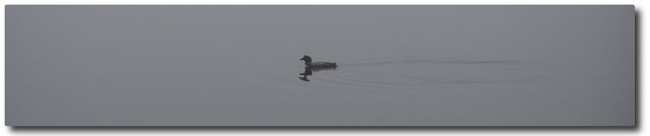
The Department of Environmental Protection has released an Elevation Survey for Clary Lake dated October 28th conducted by CES, Inc. , a consulting engineering and surveying firm with offices in various cities around Maine. The field work for the survey was conducted in the vicinity of the State boat launch on October 14th and refers to engineering work completed back in 2002 during the construction of the boat launch. The elevations on the survey are referenced to the NAVD88 elevation datum and are based on GPS measurements.
Special Condition 4 of the Clary Lake water level order required the dam owner to retain the services of a licensed professional land surveyor to establish the historical normal high water line of Clary lake. This survey was to have been completed and submitted to the Department by June 2nd of this year. Since the dam owner failed to complete the work as required, the Department of Environmental Protection has done so. This is a welcome development.
The survey concludes that the crest of the dam has an elevation of 151.17′ (NAVD88) and that the highest observed stain line on a rock in the vicinity of the boat launch has an elevation of 151.2′ (NAVD88). Thus, the survey has concluded that the historical normal high water line of Clary Lake is the same elevation as the top of the dam.